
What should I actually look for in a geotechnical report?
A geotechnical report is the document that should drive foundation pricing, not the other way around — and five sections do almost all of the work: the boring logs and N-value profile, the Atterberg limits and plasticity index, the Potential Vertical Rise (PVR) calculation, the groundwater observations, and the recommended bearing stratum. A GC or developer who can read those five sections can tell, before a subcontractor ever prices the job, whether a site is looking at straightforward drilled piers or a more complicated rock-socket or high-PVR condition. Everything else in the report — the cover letter, the general site description, the boilerplate limitations language — is context, not the number that drives the bid.
What do the boring logs and N-values actually tell you?
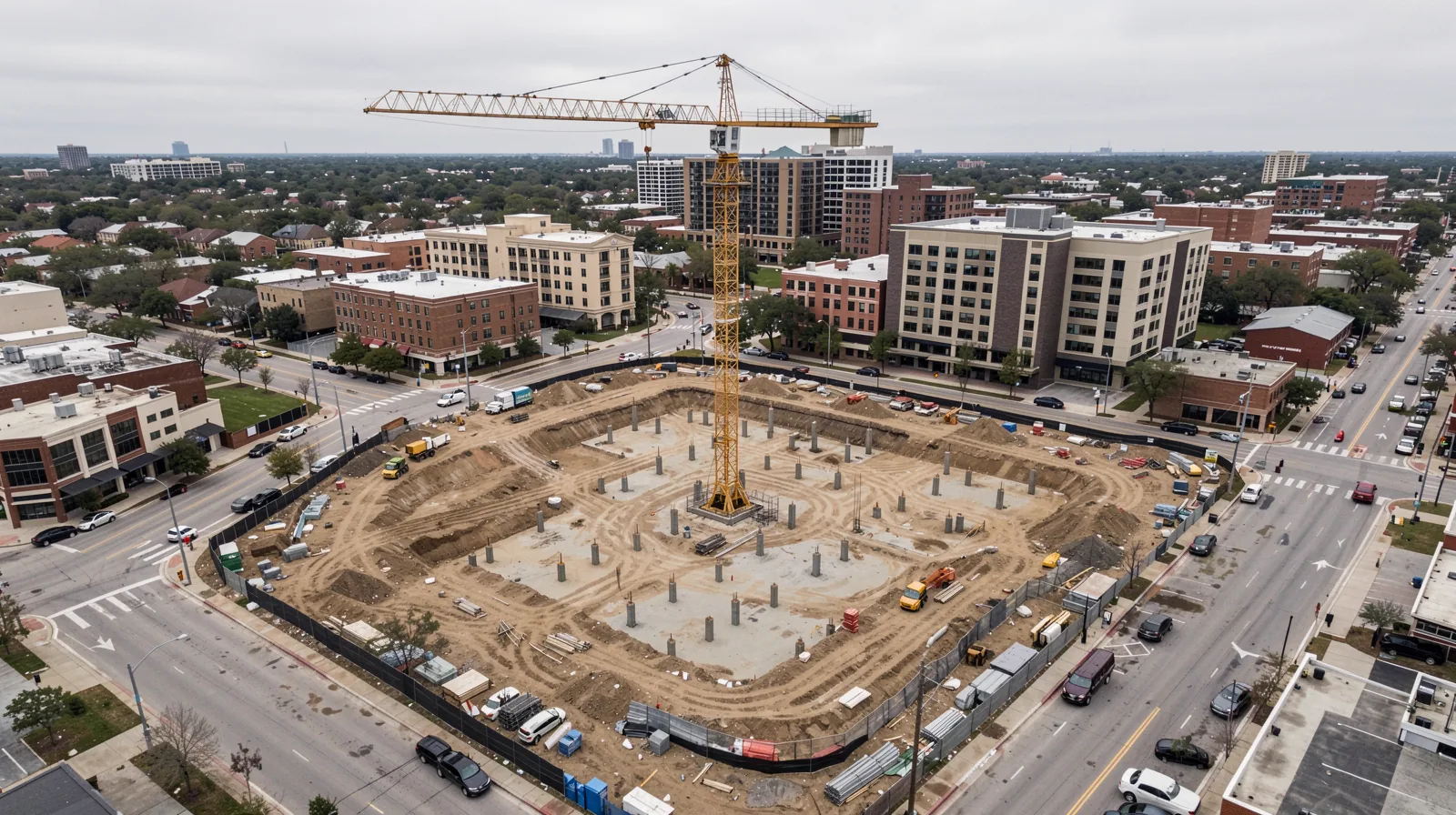
A boring log records what a drill rig encountered at each depth interval — soil or rock type, color, moisture, consistency, and the Standard Penetration Test (SPT) blow count, or N-value, at regular intervals. The N-value is the number of hammer blows required to drive a standard sampler a fixed distance into the material at that depth. It's a relative index, not a direct strength number, but the trend across a boring — N-values climbing steadily, staying flat, or spiking at a specific depth — is what tells an engineer where a stable bearing stratum actually starts.
Read more than one boring. A single log tells you what happened at one point on the site; the pattern across multiple borings tells you whether conditions are consistent across the footprint or whether the site straddles a transition — which is common across the Austin metro, where a single parcel can sit across a geologic boundary.
- Soil/rock classification at each depth interval
- N-value (blow count) trend down the boring
- Depth to auger refusal or a defined bearing stratum
- Sample recovery and any voids or losses noted during drilling
What do Atterberg limits and plasticity index mean for pier design?
Atterberg limits — the liquid limit and plastic limit — describe how a fine-grained soil behaves as its moisture content changes. The plasticity index (PI) is the numeric gap between them, and it is the single number most often used as shorthand for how expansive a clay is likely to be. A high-PI clay swells and shrinks more with seasonal moisture change, which is exactly the behavior that drives differential movement under a shallow foundation and drives pier depth on a deep one. Houston Black — the official Texas state soil, a Vertisol formed in clayey residuum from calcareous Cretaceous mudstone that extends over 1.5 million acres of the Blackland Prairie — is a high-plasticity clay by definition of its soil series classification, and geotechnical engineers describe Blackland clays generally as among the most expansive in the world, capable of generating uplift pressures large enough to crack reinforced slabs (Houston Black soil series official description; industry engineering characterization).
| Report field | What it tells you |
|---|---|
| Liquid limit (LL) | Moisture content where the soil shifts from plastic to liquid behavior |
| Plastic limit (PL) | Moisture content where the soil shifts from semi-solid to plastic behavior |
| Plasticity index (PI = LL − PL) | Shorthand for how expansive/moisture-reactive the clay is likely to be |
| Percent passing No. 40 sieve | Fine-fraction content used as an input to the PVR calculation |
What is Potential Vertical Rise (PVR), and why does Texas use it?
PVR is Texas's own foundation-design metric, not a generic shrink-swell index. TxDOT test method Tex-124-E derives PVR — expressed in inches of potential rise — from a soil's plasticity index, liquid limit, moisture content, density, and percent passing the No. 40 sieve, summed over a soil column, commonly to a 15-foot depth (TxDOT Tex-124-E test method; TTI re-evaluation of PVR design procedures). A geotech report for a Central Texas commercial project will often carry a PVR calculation specifically because of that TxDOT method, and it is one of the more direct engineering inputs into how deep a pier needs to extend below the active, moisture-reactive zone.
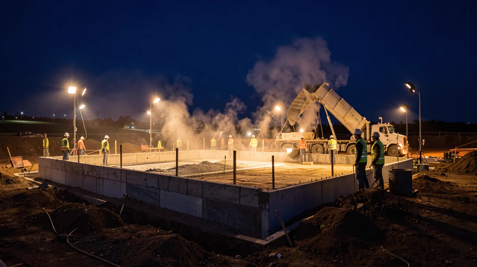
A specific PVR range has been published for the Dallas–Fort Worth area (3–6 inches, among the highest in the country, per a foundation-repair engineering source) — but that number belongs to DFW, not Austin. Central Texas Blackland clay is geologically comparable, so a similarly high PVR is plausible, but it is unverified for this metro specifically. Never accept a borrowed PVR number in place of a site-specific calculation.
Why does groundwater depth change how a pier gets drilled?
The groundwater observations in a geotech report — where water was encountered during drilling, and where it stabilized afterward if the boring was left open — affect drilling method directly. Water above the planned pier tip elevation can require temporary casing or drilling slurry to keep the shaft open, changes how concrete is placed (tremie placement instead of free-fall), and can affect cure time and inspection sequencing. A report that only notes groundwater in passing, without a clear statement of depth and stabilization behavior, is a report worth asking follow-up questions about before pricing.
What does “recommended bearing stratum” actually mean?
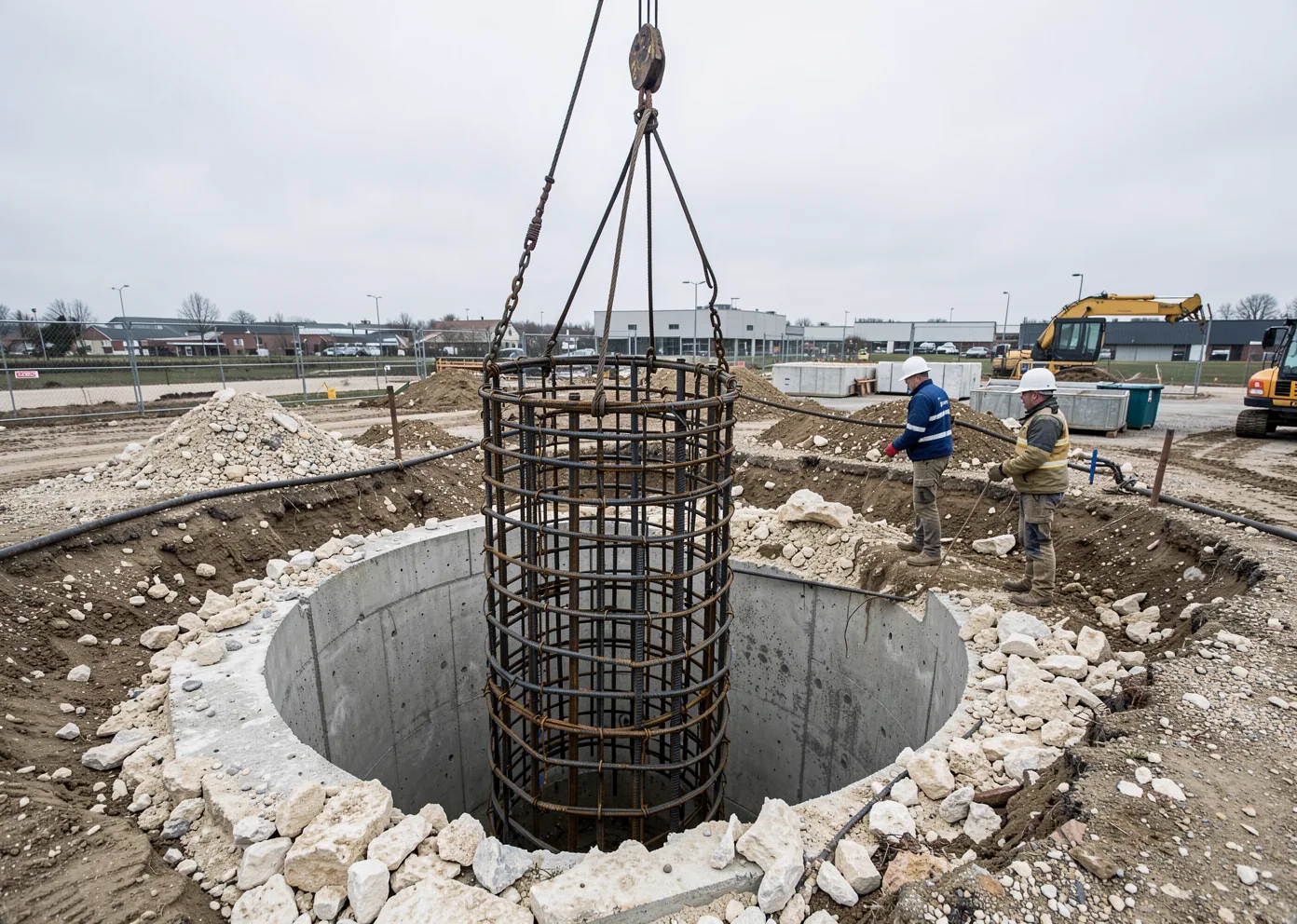
This is usually the section buried near the end of the report, and it is the one that most directly answers “how deep.” The engineer of record identifies a specific soil or rock layer — by depth range, description, and often minimum N-value or rock quality — as the stratum piers should bear into or below. On east-metro Blackland clay sites, that stratum is typically defined by depth below the active moisture zone rather than by hitting rock; on west-side sites closer to the Balcones Escarpment, it is often a specific limestone unit reached by rock socket. Either way, this is the number a foundation contractor prices against — not a citywide assumption, and not the depth used on the project down the street.
Geotech report questions, answered directly.
What is an N-value in a boring log?
What is the difference between the liquid limit and plastic limit?
Can Kairos give a pier depth without a geotechnical report?
Why does groundwater depth matter for drilled piers?
Send your geotech report and plans.
We size every pier schedule to the site’s actual boring data, not a regional assumption.