
Three ground conditions, one metro.
Central Texas sits at a geologic transition zone. The Balcones Escarpment marks the boundary between the Blackland Prairie’s expansive clay soils to the east and the Edwards Plateau’s limestone shelf to the west — and the Austin metro straddles that line. A pier schedule engineered for one side can be the wrong answer a few miles away.
Expansive clay
Round Rock and much of the eastern metro sit on shrink–swell clays. Seasonal moisture movement drives pier depth and slab detailing more than building loads do.
Cut-and-fill hillside
Steep grades and cut-and-fill lots bring access constraints that change how, and whether, a rig reaches the pier location at all.
Karst-influenced rock
Voids and solution features can appear between borings. That is a drilling-condition risk, and it belongs in the conversation before award.
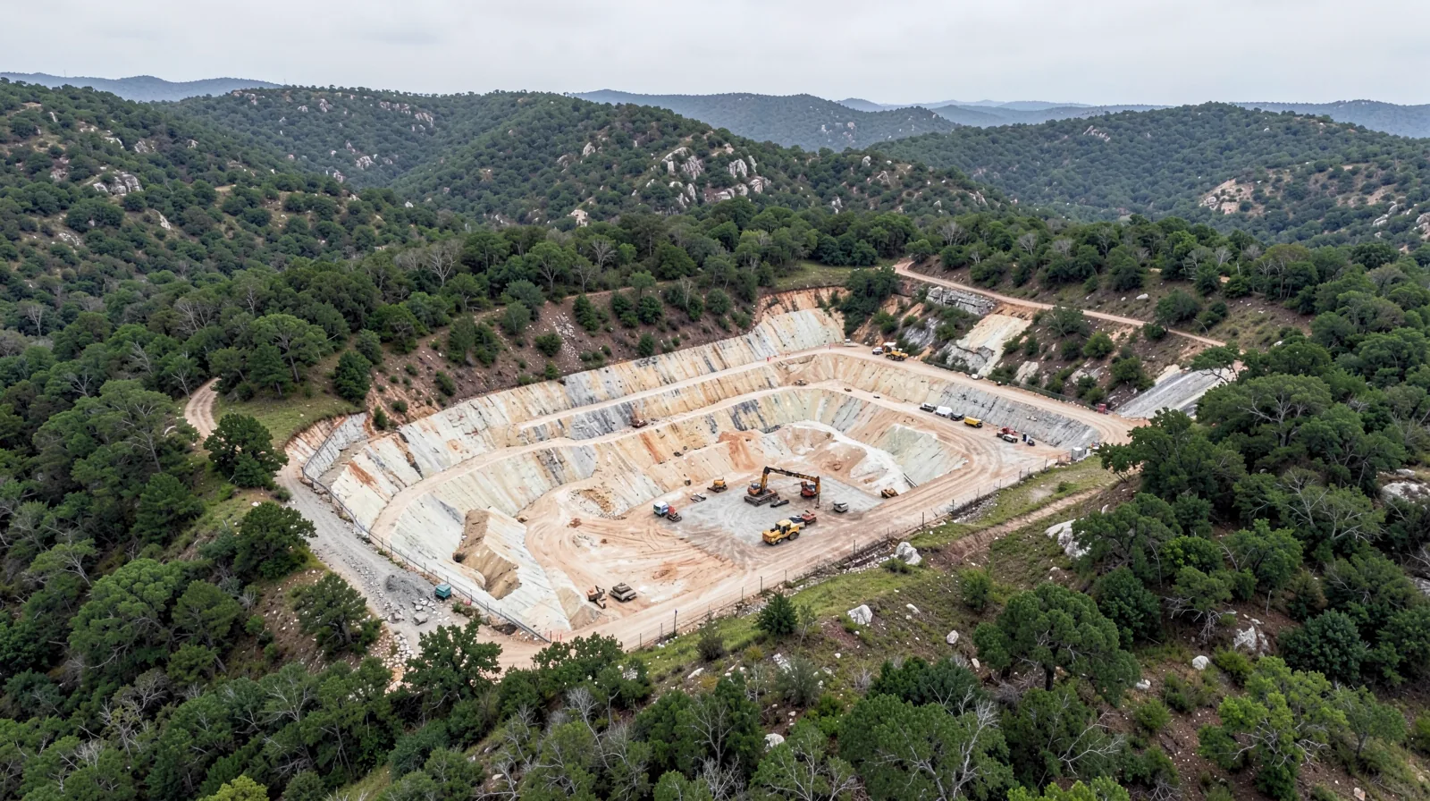
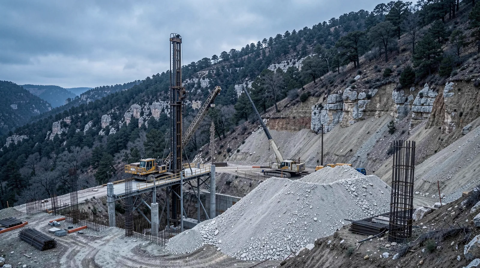
Hillside sites are benched before a rig ever mobilizes.
Cut-and-fill lots in West Austin and the Hill Country often need benched or terraced access before a drilling rig can safely reach a pier location — an access-planning step that belongs in preconstruction, not something discovered on mobilization day.
Why do shrink-swell clay soils drive pier depth?
Houston Black — the official Texas state soil, extending over 1.5 million acres of the Blackland Prairie per USDA series data — and the related Taylor soil series, common across the eastern metro including Round Rock and Pflugerville, are high-plasticity clays that expand when wet and contract when dry. That seasonal moisture cycle generates uplift on foundation elements that aren’t isolated from the active zone. Drilled piers extending below the depth of seasonal moisture influence, with proper isolation from the surrounding soil, are the standard response — the specific depth is a function of the site’s plasticity index and moisture data, not a fixed regional number.
How does shallow Edwards limestone change the drilling problem?
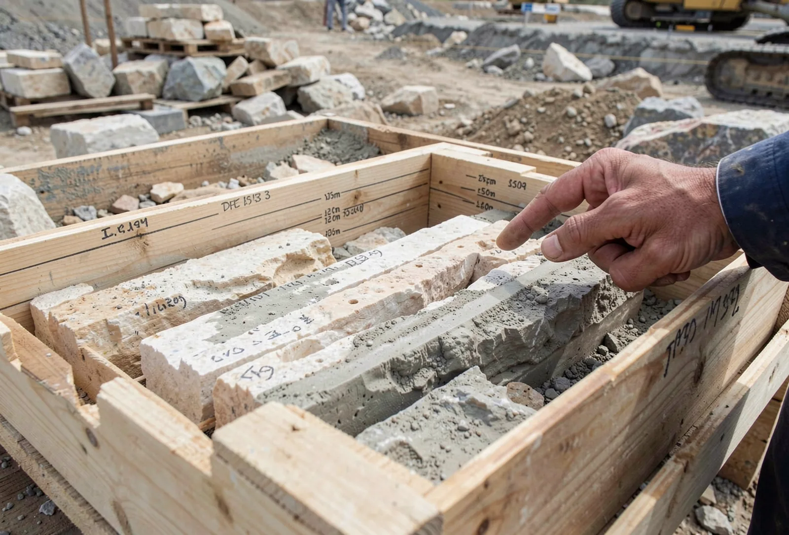
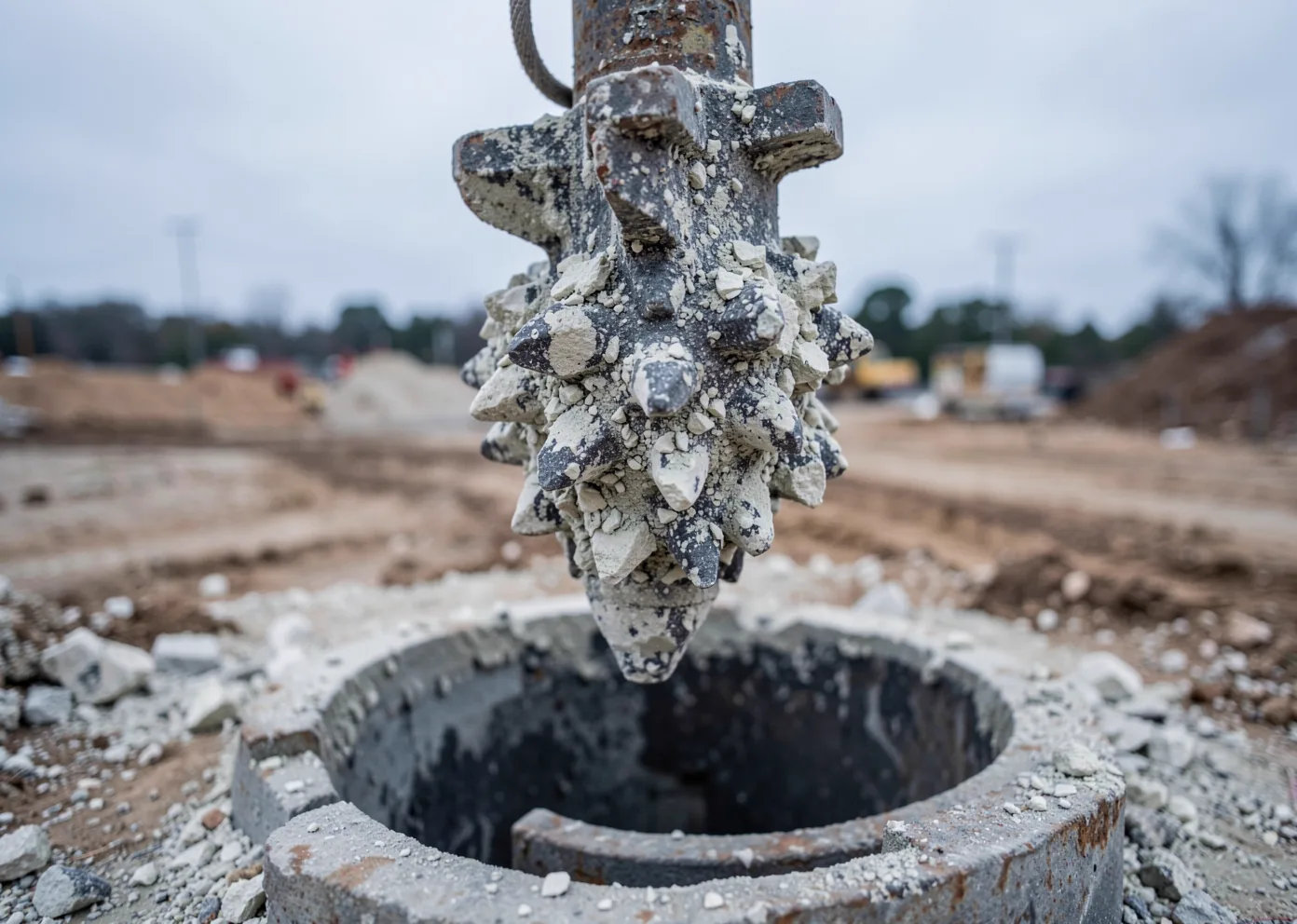
The Edwards Group (roughly 550 ft thick) and the underlying Glen Rose Limestone (roughly 650 ft thick) are Lower Cretaceous formations, 100–112 million years old, per SERC/GeoFORCE Central Texas geology surveys. West and northwest of the escarpment, this limestone shelf brings shallow bearing rock, rock socket drilling, and karst risk — voids and solution features formed by dissolution of the limestone over geologic time. Karst features don’t announce themselves consistently between borings, which is why rock socket design and drilling method both need to account for the possibility of an unmapped void, not just the confirmed boring log.
Why does Austin sit on the Balcones geologic transition line?
Fault displacement along the Balcones Escarpment reaches an estimated 1,200–1,600 feet between Austin and San Antonio, per published Central Texas geologic surveys — the scale of the structural break driving the metro’s split ground conditions.
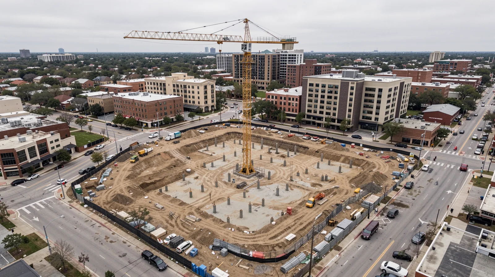
Austin itself spans both conditions — flatter, clay-influenced ground toward the east side of the metro and limestone-influenced terrain closer to the escarpment on the west side, with downtown and urban infill sites often carrying additional constraints from existing substructures and utilities. That’s why a single citywide foundation assumption doesn’t hold even within Austin’s own boundaries.
Why does Central Texas geology matter for commercial foundation design?
What is expansive clay and why does it affect foundations?
What is karst and where does it occur in the Austin area?
Does one foundation design work across the whole Austin metro?
More geology questions, answered directly.
Which parts of the Austin metro sit on expansive clay?
Which parts of the Austin metro sit on shallow limestone?
Does Kairos Foundation Group design around a single Austin-area soil assumption?
Send it with your bid package.
We size every pier schedule to the actual boring data for your site, not a regional assumption.