
Why does clay depth matter more than building weight for pier design?
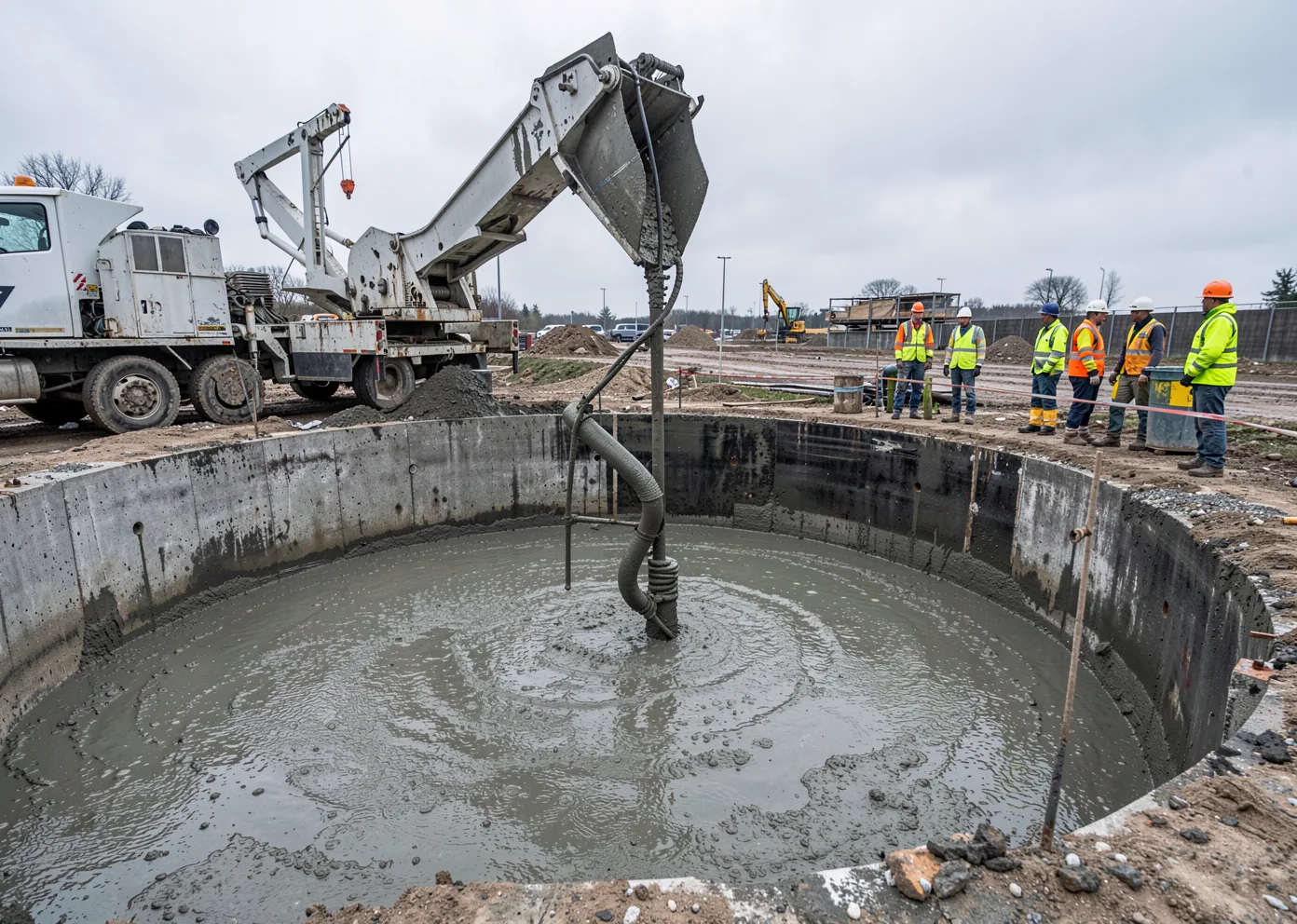
In Blackland Prairie clay, pier depth is usually set by how far down the soil actually swells and shrinks with the seasons — the active zone — not by how heavy the building is. A light single-story structure and a heavier mid-rise on the same lot can require piers of similar depth, because both need to clear the same active zone and reach a stratum where moisture content stays relatively stable year-round. This is the single most common misunderstanding GCs and developers bring to a Central Texas foundation bid, and it’s why a pier schedule engineered for one site can be flatly wrong for another site with a different building load but the same soil profile.
Which parts of the Austin metro actually sit on this clay?
The Blackland Prairie belt of Houston Black and Branyon-family clays runs from the Rio Grande north through San Antonio, New Braunfels, and San Marcos, through Austin and Georgetown, up to Waco and the Red River. Branyon series clay specifically is most extensive in Ellis, Hill, McLennan, Falls, Bell, and Williamson counties, extending south into Caldwell, Guadalupe, and Bexar. An industry summary of the region names Kyle, Buda, Round Rock, Cedar Park, and Pflugerville, plus the eastern portions of the Austin and San Antonio metros, as communities sitting squarely on Blackland clay — that industry characterization, not a full parcel-level soil survey, is the basis for treating those cities as clay-driven markets by default, with a project-specific geotech report confirming the exact series on any given lot.
- Houston Black — the Texas state soil, extremely expansive, sticky/moldable when wet
- Branyon — deep, slowly permeable clayey alluvium, most extensive toward Williamson County
- Austin series — formed in residuum weathered from Austin Chalk, generally less expansive than Houston Black/Branyon
- Exact series varies by parcel — pull the USDA Web Soil Survey map, don’t assume from the city name alone
How does an expansive clay actually move a foundation?
Houston Black and Branyon are Vertisols — clay-mineral-rich soils formally classified by their shrink-swell behavior. As moisture content rises after rain, the clay minerals absorb water and the soil expands; as the soil dries out, it contracts and can crack. That cycle generates uplift and lateral pressure against anything embedded in the active zone. Geotechnical engineers describe Blackland clays as among the most expansive in the world, with uplift pressures large enough to crack reinforced slabs and shift pier-and-beam structures by multiple inches in a single dry season — an industry engineering characterization rather than a single cited figure, but consistent with why deep foundations, not shallow spread footings, are the default recommendation across most of the eastern metro.
How is pier depth actually calculated in Texas clay?
Texas uses its own metric — Potential Vertical Rise, or PVR — rather than a generic shrink-swell index. TxDOT test method Tex-124-E derives PVR, in inches of potential rise, from the soil’s plasticity index, liquid limit, moisture content, density, and percent passing the No. 40 sieve, summed over a soil column, commonly to a 15-foot depth. A geotech report for a Blackland clay site will typically include this calculation, and it is the direct engineering input a foundation designer uses to size how far a pier needs to extend below the active zone — not a citywide rule of thumb. No verified PVR range exists specifically for Austin, Travis, Williamson, or Hays counties in published sources; the closest documented figure is a 3–6 inch range for the Dallas–Fort Worth market, which is geologically comparable but not the same metro, and should never be substituted for a site-specific calculation.
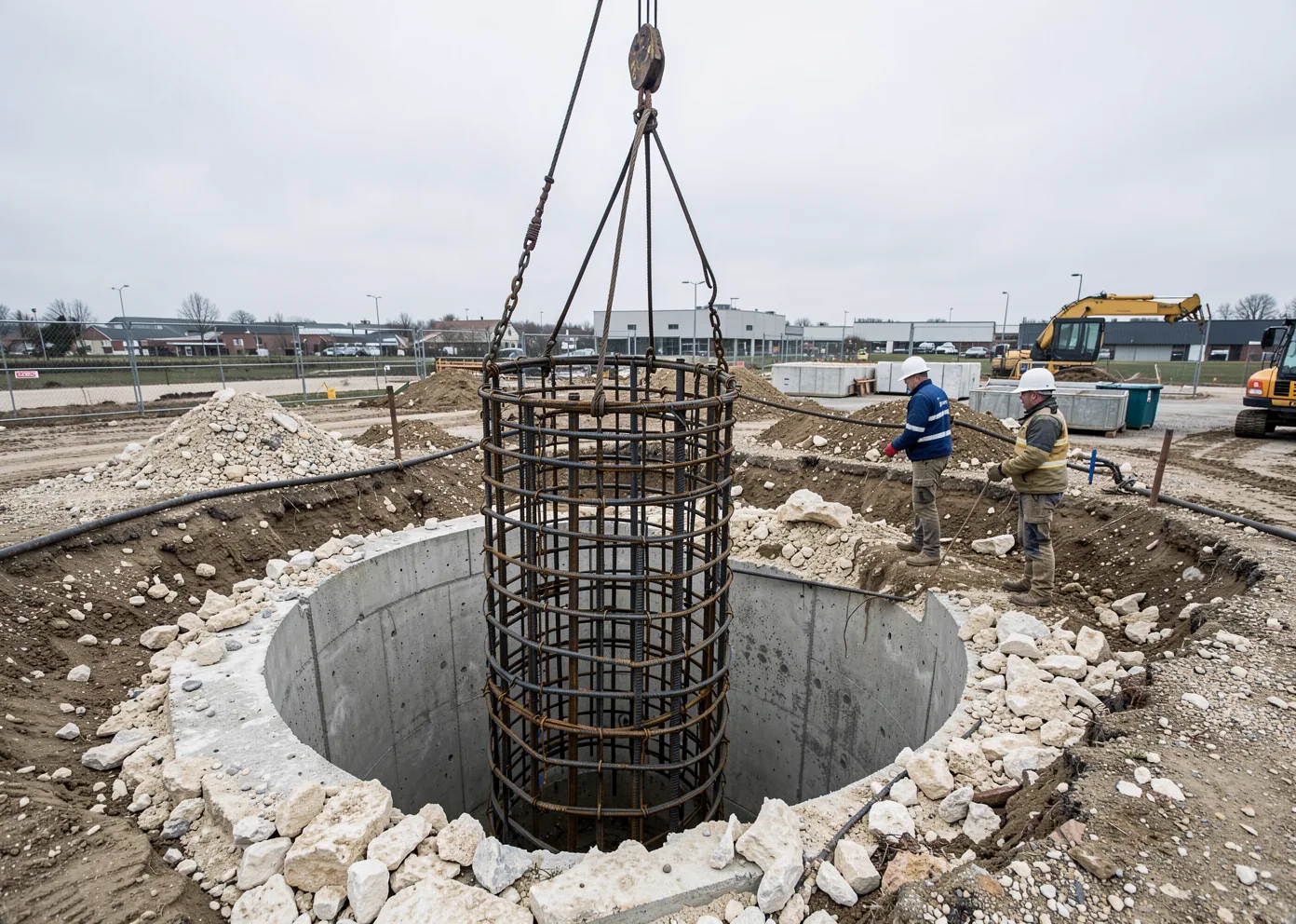
What does a drilled pier system actually do differently in this soil?
Extend below the active zone
Pier depth is set to reach below the seasonal moisture-swing zone identified by the boring data and PVR calculation, not a fixed citywide number.
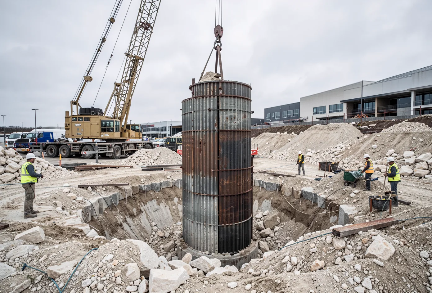
Isolate the shaft from uplift
Where required, the shaft is detailed to reduce skin friction with the surrounding active-zone soil so seasonal swelling doesn’t drag the pier upward.
Bear on a stable stratum
The pier tip lands on the stratum the geotechnical engineer identifies as stable — on east-metro clay sites, that is usually defined by depth below the active zone rather than by hitting rock.
Tie beams and slabs to the movement, not against it
Grade beams and slabs are detailed to accommodate expected soil movement at the surface, working with the pier system rather than fighting the same forces a shallow footing would absorb directly.
Expansive clay questions, answered directly.
Which Central Texas cities sit on Blackland Prairie clay?
Does a bigger building need a deeper pier in expansive clay?
What is the "active zone" in expansive clay?
Is Houston Black clay unusually expansive compared to other clays?
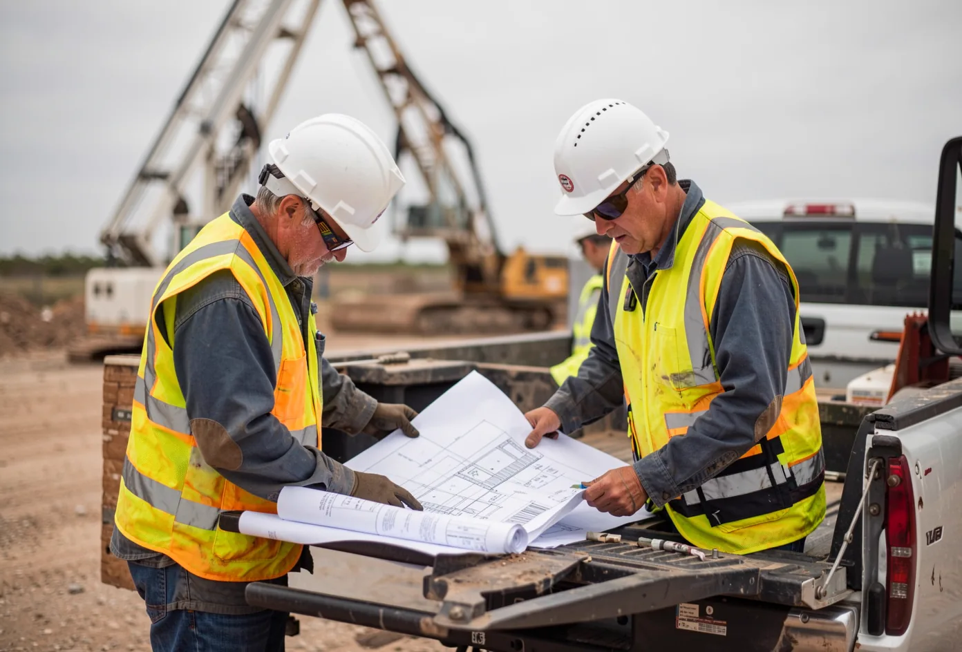
Send your geotech report and plans.
We size every pier schedule to the site’s actual boring data, not a regional assumption.