
Why does one geologic line matter so much for Austin-area foundations?
The Balcones Escarpment is the boundary between the Coastal Plain to the east and the Edwards Plateau — the Texas Hill Country — to the west, and fault displacement along it reaches an estimated 1,200 to 1,600 feet between Austin and San Antonio. That is not a subtle geologic footnote; it is the reason the Austin metro contains two genuinely different foundation problems within one market. West of the line, sites reach bearing rock shallower and drilled piers often socket into limestone. East of the line, sites sit on deep expansive clay with no shallow rock, and pier depth is driven by reaching a stable stratum below the active moisture-swing zone rather than by hitting rock. A project that straddles the line — which happens more often in Austin than in almost any other Central Texas market — can face both conditions on the same footprint.
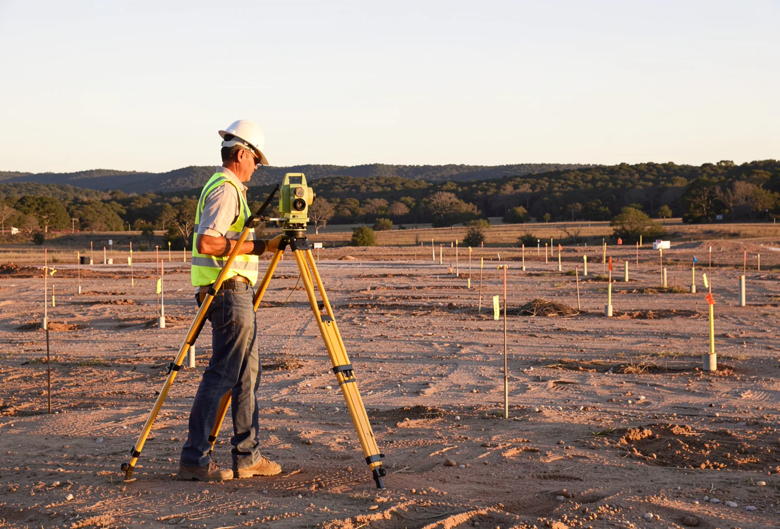
What does the west side’s geology actually look like?
West of the escarpment — western Austin and the Hill Country side, extending toward Lakeway and Bee Cave — outcrop is the Glen Rose Limestone, roughly 650 feet thick, and the Edwards Group, roughly 550 feet thick. Both are Lower Cretaceous formations, 100 to 112 million years old, and both were deposited in cyclic, shallow subtidal-to-tidal-flat environments. This is rock-dominated terrain: shallower bearing rock, more limestone at accessible depth, and karst risk — voids, sinkholes, and solution features formed by dissolution of the soluble limestone over geologic time, concentrated where the Edwards Aquifer Recharge Zone brings water into direct, rapid contact with fractured rock.
What does the east side’s geology actually look like?
East of the escarpment — eastern Austin, Manor, Elgin, Hutto, Pflugerville, and the eastern portions of Round Rock and Georgetown — the exposed rock is Upper Cretaceous, 70 to 100 million years old: the Georgetown, Del Rio, Buda, and Eagle Ford formations, capped by the younger Austin Chalk and Taylor Marl/Clay. Del Rio Clay is specifically documented as present in Travis County by USGS geologic mapping, and Taylor Marl’s type locality is near the town of Taylor in Williamson County, first described in 1889. This is the Blackland Prairie clay belt — the ground condition that makes drilled pier depth on the east side a function of moisture-zone depth, not rock elevation.
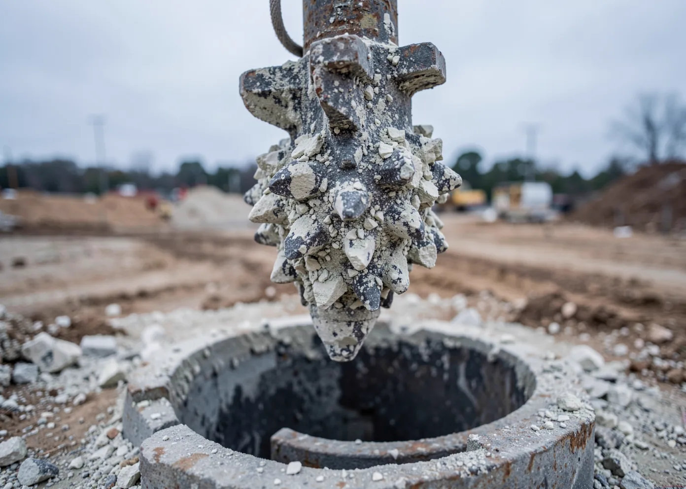
| Factor | West of escarpment | East of escarpment |
|---|---|---|
| Dominant rock/soil | Glen Rose Limestone, Edwards Group | Austin Chalk, Taylor Marl/Clay, Blackland clay |
| Age | Lower Cretaceous, 100–112 Mya | Upper Cretaceous, 70–100 Mya |
| Primary foundation risk | Karst voids, rock socket depth variability | Expansive clay, active-zone depth |
| Cities | Western Austin, Lakeway, Bee Cave | Manor, Elgin, Hutto, Pflugerville, E. Round Rock/Georgetown |
What happens when a site sits on the transition itself?
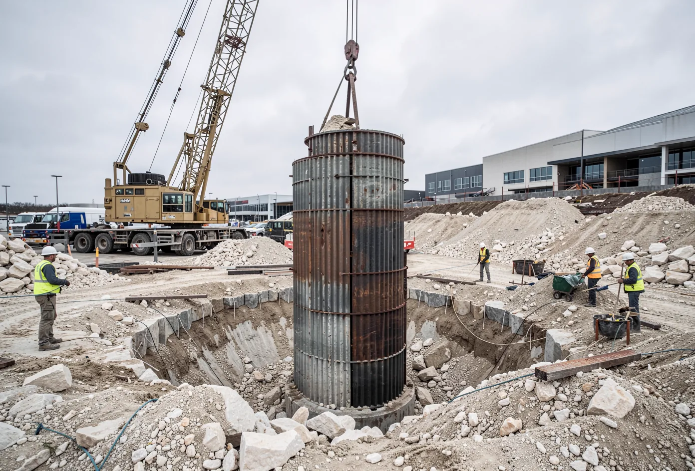
Because the escarpment runs directly through parts of the Austin buildable area, a single project can span two different bearing conditions across its own footprint — clay on one end, rock-influenced ground on the other, sometimes within the same city block. That is why boring coverage across the full site footprint matters more in Austin than in a geologically uniform market: a boring plan that assumes uniform conditions from a handful of points can miss a real transition on the parcel. Practical bearing and socket depths still have to come from the site’s own geotechnical report — the escarpment tells you which kind of problem you’re likely facing, not the specific number.
What is karst, and why does it only show up on one side?
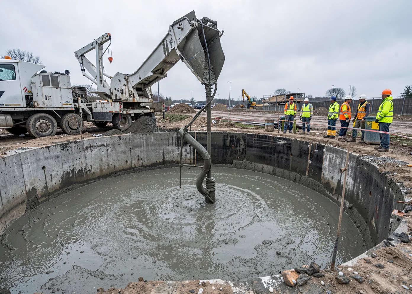
The Edwards Aquifer is a karst aquifer — characterized by sinkholes, sinking streams, caves, large springs, and highly productive wells. Its Recharge Zone, concentrated west and northwest of the escarpment, is where water enters through fractured limestone, caves, and sinkholes, often as a direct and rapid path from the surface to groundwater. Voids are common throughout the aquifer, act as macropores through the soil, and are frequently not visible from the surface without closer geologic examination — which is exactly why drilling near recharge features has to manage spoils, imported fill, and washout so rainfall doesn’t carry sediment into a cave or sinkhole opening, and why the permitting process for those sites carries its own dedicated review (see our companion piece on Edwards Aquifer permitting).
Balcones Escarpment questions, answered directly.
What is the Balcones Escarpment?
Which side of the escarpment has rock, and which side has clay?
Can one project site span both conditions?
Does karst risk apply on both sides of the escarpment?
Send your geotech report and plans.
We size every pier schedule to the site’s actual boring data, not a regional assumption.